
Why We’re Flying Robots in Zanzibar
October 17th, 2016
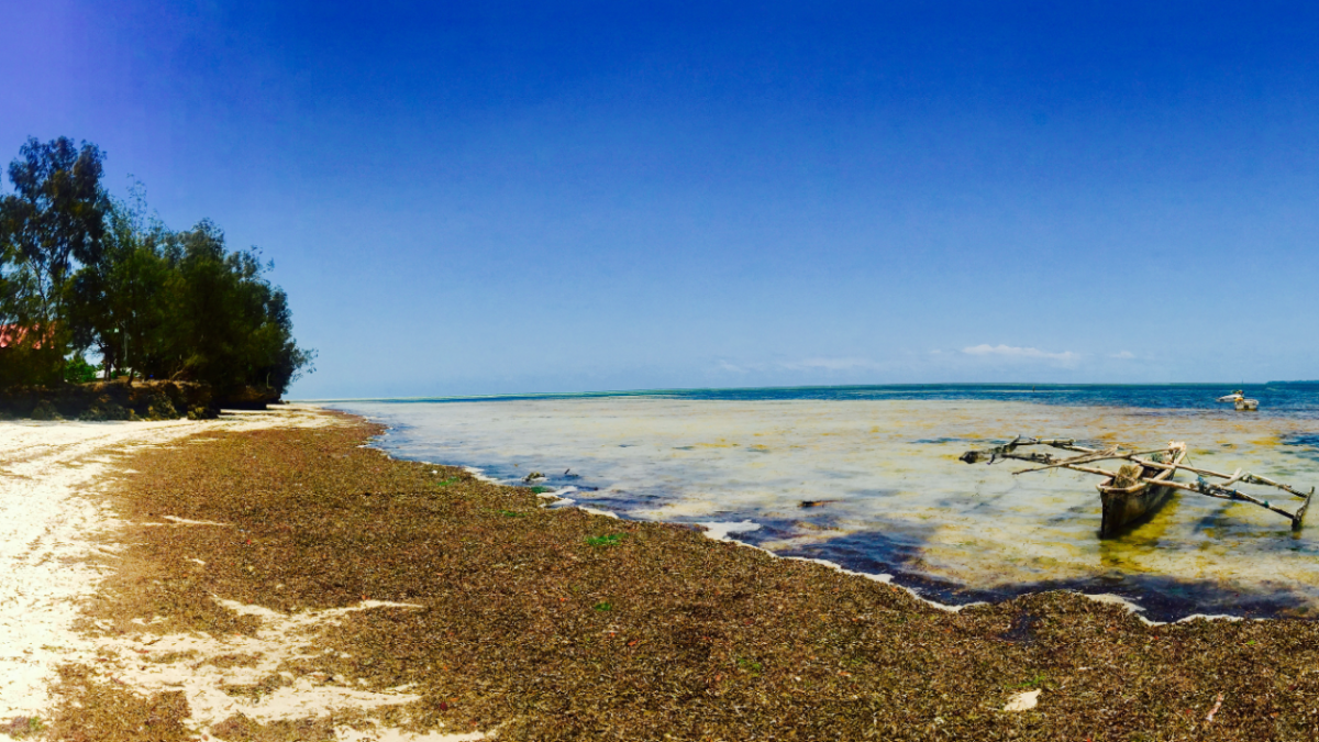
We were in Zanzibar last week at the invitation of the State University of Zanzibar (SUZA). Together with the outstanding SUZA drone team, we mapped Jozani Forest and part of the eastern coastline. This allowed us to further field-test our long-range platform and to continue our local capacity building efforts following our surveys near the Ugandan border. Here's a picture-based summary of our joint efforts.
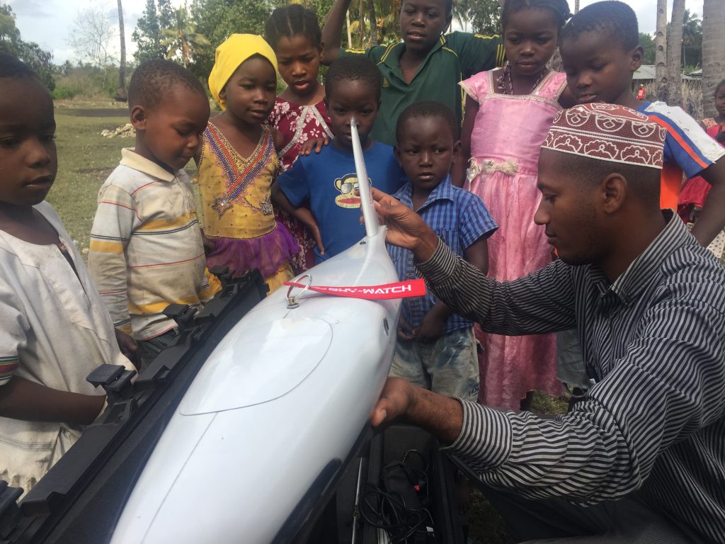 Flying Labs Coordinator Yussuf sets up the Cumulus UAV for flight
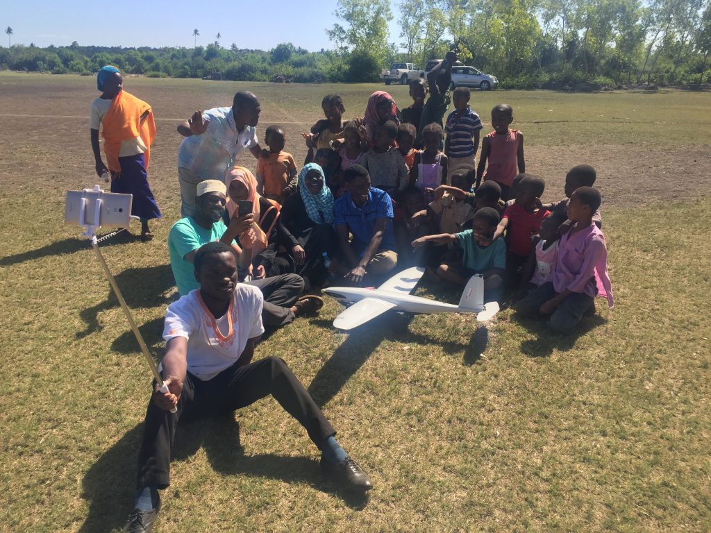 Turns out selfie sticks are popular in Zanzibar and kids love robots.
 Khairat from Team SUZA is operating the mobile air traffic control tower. Team SUZA uses senseFly eBees for other projects on the island.
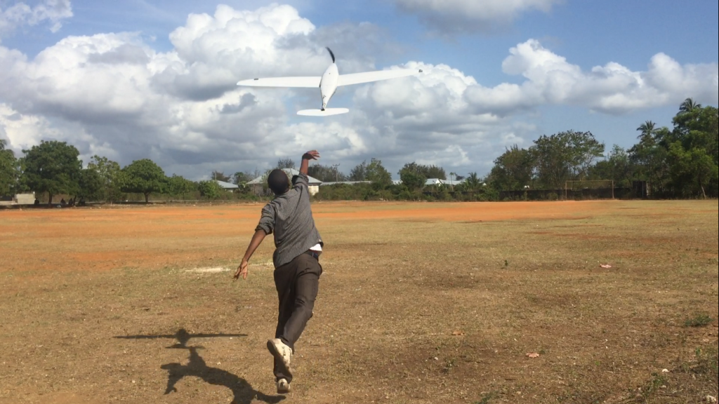 Another successful takeoff, courtesy of Flying Labs Coordinator Yussuf.
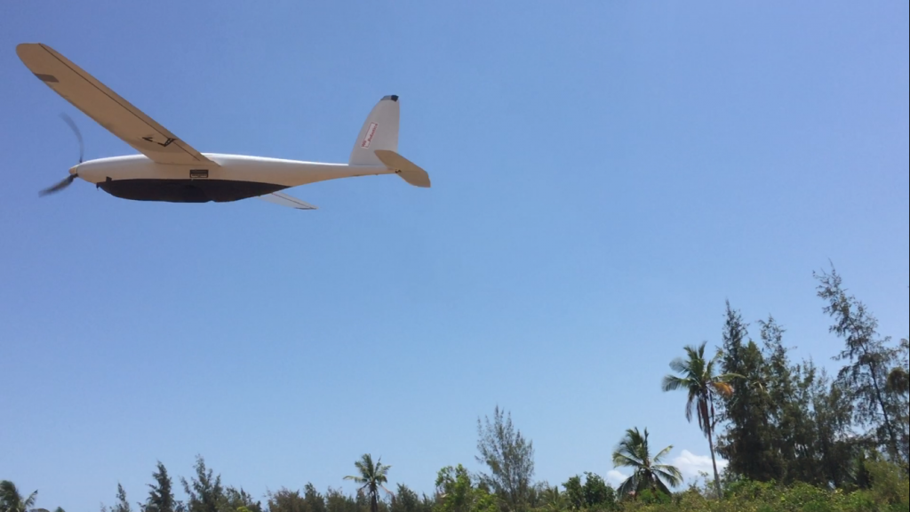 And we're airborne! We flew the Cumulus at a speed of 65km/h and at an altitude of 265m.
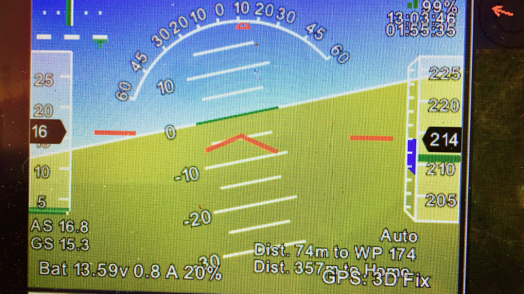 The Cumulus flew for 2 hours, making this our longest UAV flight in Zanzibar so far.
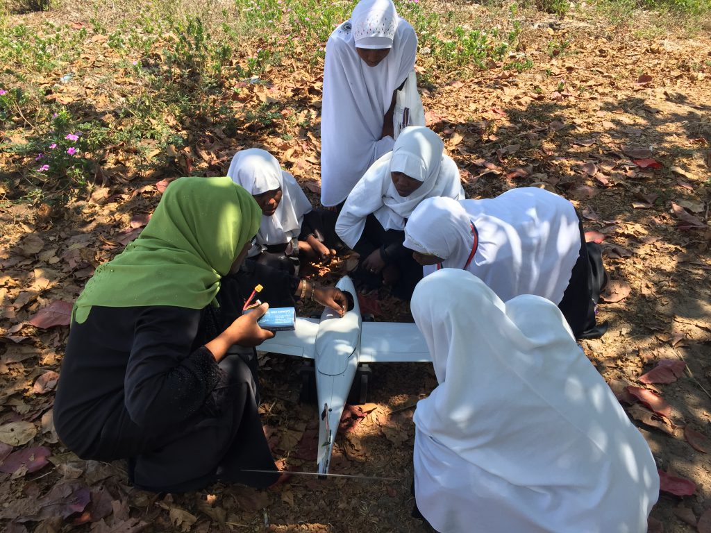 Khadija from Team SUZA explains to local villagers how and why she maps Zanzibar using flying robots.
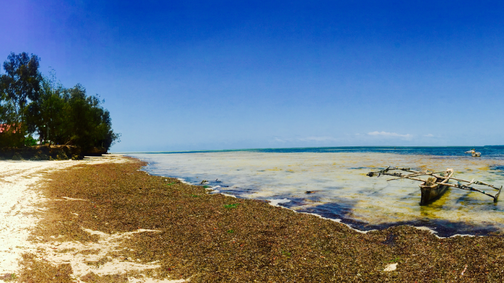 Tide starts rushing back in. It's important to take the moon into account when mapping coastlines, as the tide can change drastically during a single flight and thus affect the stitching process.
Location(s):
Recent Articles

