Reimagining Impact Culture: WeRobotics Partners with ActivityInfo
December 4, 2025
Through this collaboration, we will learn how to create practical, context-sensitive systems for data collection, reflection, and learning.
February 8th, 2019

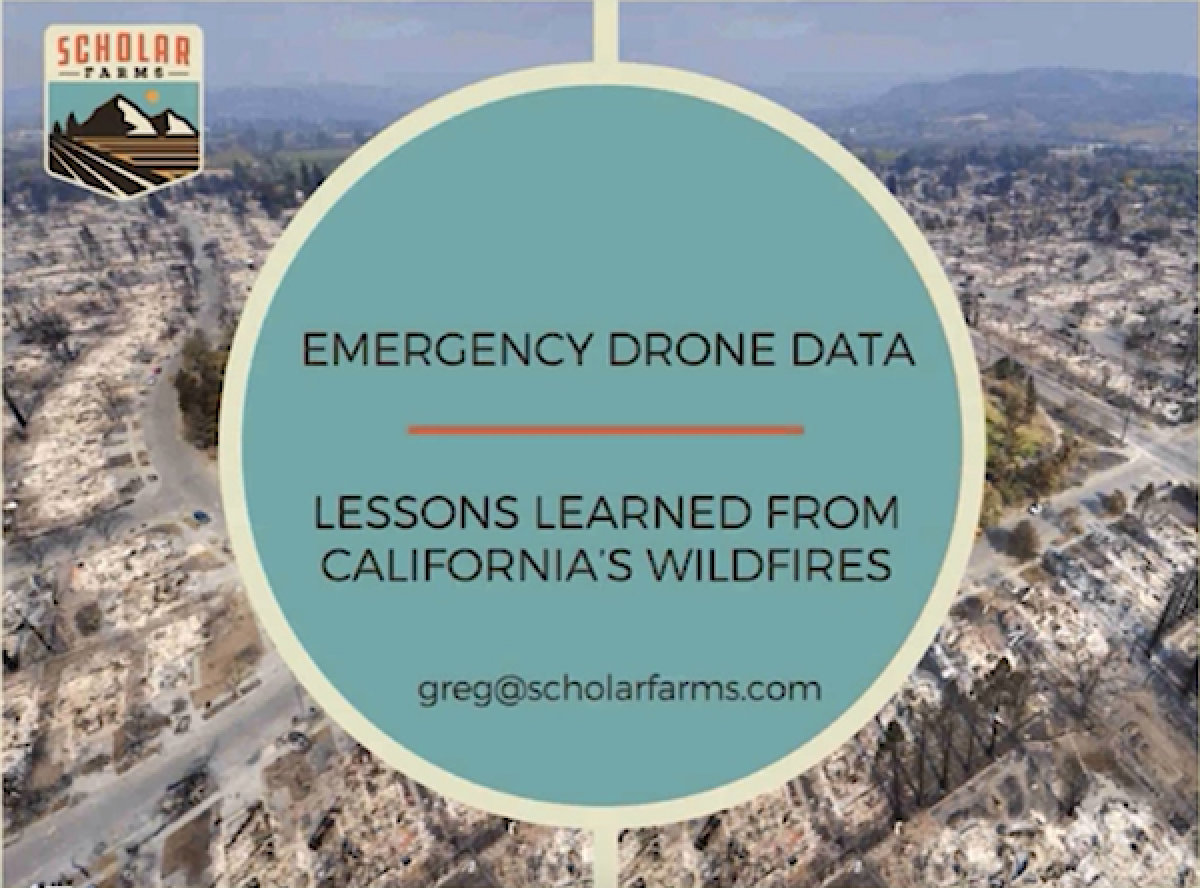
In his latest webinar, Dr. Greg Crutsinger, founder at Scholar Farms, talks about how his team used drones to map California's largest wildfires in record time, thanks to his active experience as emergency drone data lead.
We wish to thank Dr. Crutsinger for his time and dedication to educate communities around the world on UAVs' great potential in times of emergency.
https://www.youtube.com/watch?v=oaogTCUNvpw

