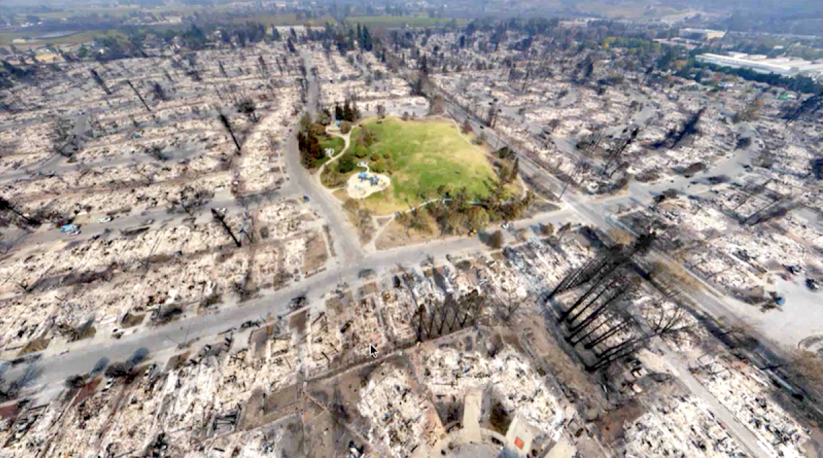
Video: Drones, Disaster Response and Rapid Mapping - Revelations from the Carr Fire
September 5th, 2018

In disaster response, time is everything. UAVs have tremendously helped public agencies deploy aid more efficiently during the massive Carr Fire in California. In our latest Webinar "Drones, Disaster Response and Rapid Mapping: Revelations from the Carr Fire" Dr. Greg Crutsinger, drone imaging consultant and founder at Scholar Farms, demonstrates how Hangar and ESRI were crucial to coordinate six first-responder teams in record time. From working on the ground with police and drone crews to breaking down the worse-hit neighbourhood in 6 areas and giving an impromptu mapping and 360-imaging training, Greg's expertise was key to finally feed massive data products to the city's GIS system.
https://www.youtube.com/watch?v=WIQ2D6sbUJM
Recent Articles

