Open AI Challenge: Aerial Imagery of South Pacific Islands
January 12th, 2018

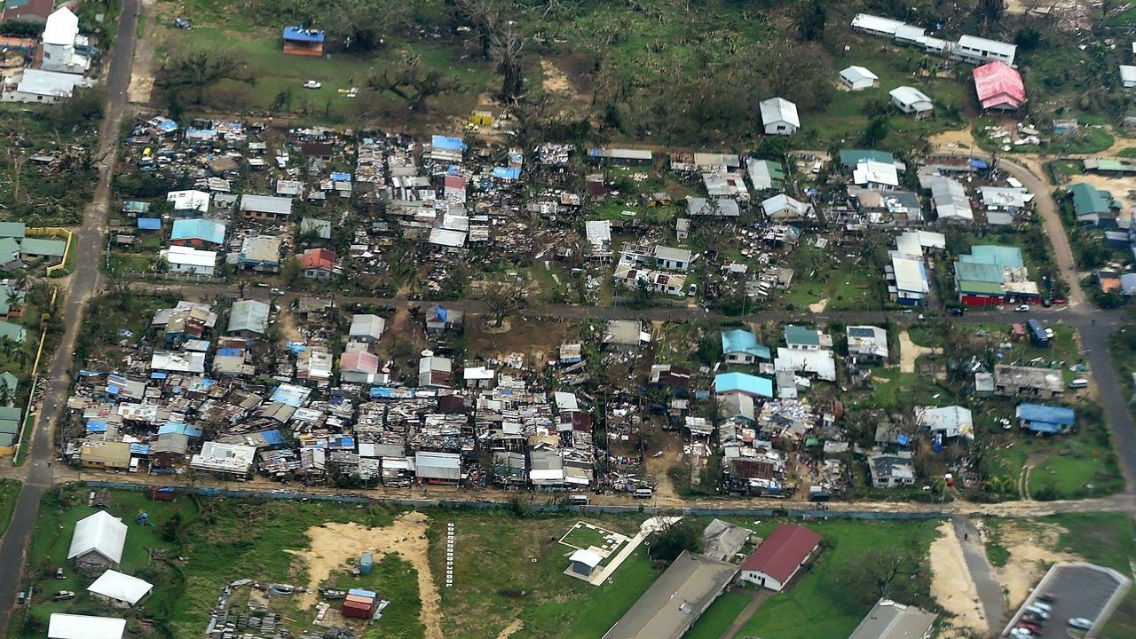
Disasters in the South Pacific are a reality. In the past 10 years, major Cyclones have seriously affected hundreds of islands across Fiji, Tonga, Vanuatu and Samoa to name a few; disrupting millions of lives and causing millions of dollars of damage. Many of the countries in the Pacific region are also exposed to other high risk disasters including earthquakes, tsunami, storm surge, volcanic eruptions, landslides and droughts, not to mention the growing threat of Climate Change. What does all this have to do with Artificial Intelligence (AI)?

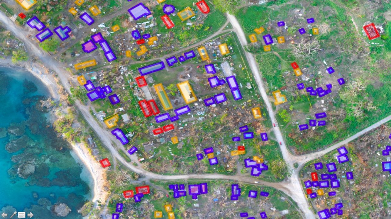
Aerial imagery is "Big Data" challenge. We've observed this challenge repeatedly over the years, and most recently again during our work with UNICEF in Malawi. It took hours to manually analyze just a few hundred high-resolution aerial images from the field. In 2015, following Cyclone Pam in Vanuatu, it took days to manually analyze thousands of aerial images, which is why we eventually resorted to crowdsourcing. But this too took days because we first had to upload all the imagery to the cloud. I started working on this Big (Aerial) Data problem back in 2014 and am thrilled to dive back into this space with friends at the World Bank and OpenAerialMap (OAM). By "this space" I mean the use of machine learning and computer vision to automatically identify features of interest in aerial imagery.

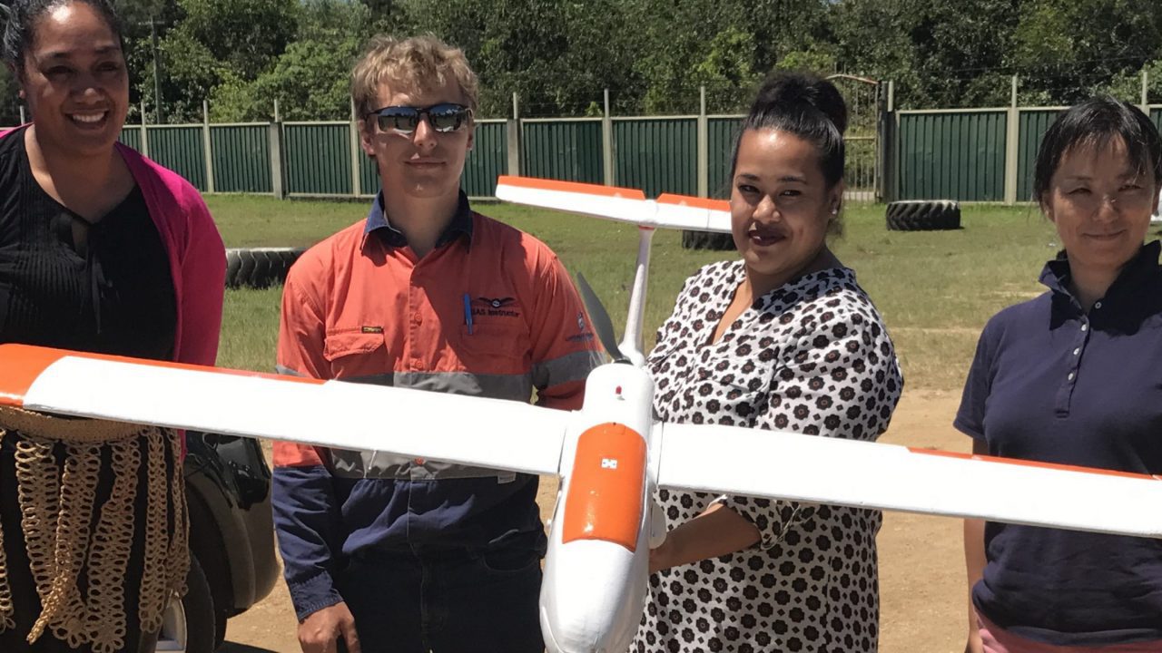
Together with OAM, I had the opportunity to work directly with the World Bank on their UAVs for Resilience Project in the South Pacific. It was during this project in Tonga that we discussed the continued need to automatically analyze features of interest—features related to food security and transportation, for example. Therein came the idea of launching an Open AI Challenge around aerial imagery. I'm excited to announce that this challenge is now live!

All the information for the Open AI Challenge including the data is available here.
The winning team(s) will receive public praise and a Certificate of Achievement. More importantly, they will enable the World Bank and partners to significantly accelerate the analysis of aerial imagery before and after major humanitarian disasters. This will help accelerate and improve humanitarian and development efforts across the South Pacific. Winning teams will also have the opportunity to engage in other related projects around the world.
In the meantime, big thanks to the World Bank and OAM for making this challenge possible, and many thanks to Humanitarian OpenStreetMap Team (HOT) volunteers for generating the training data for this challenge as well.
Onwards!
Recent Articles

