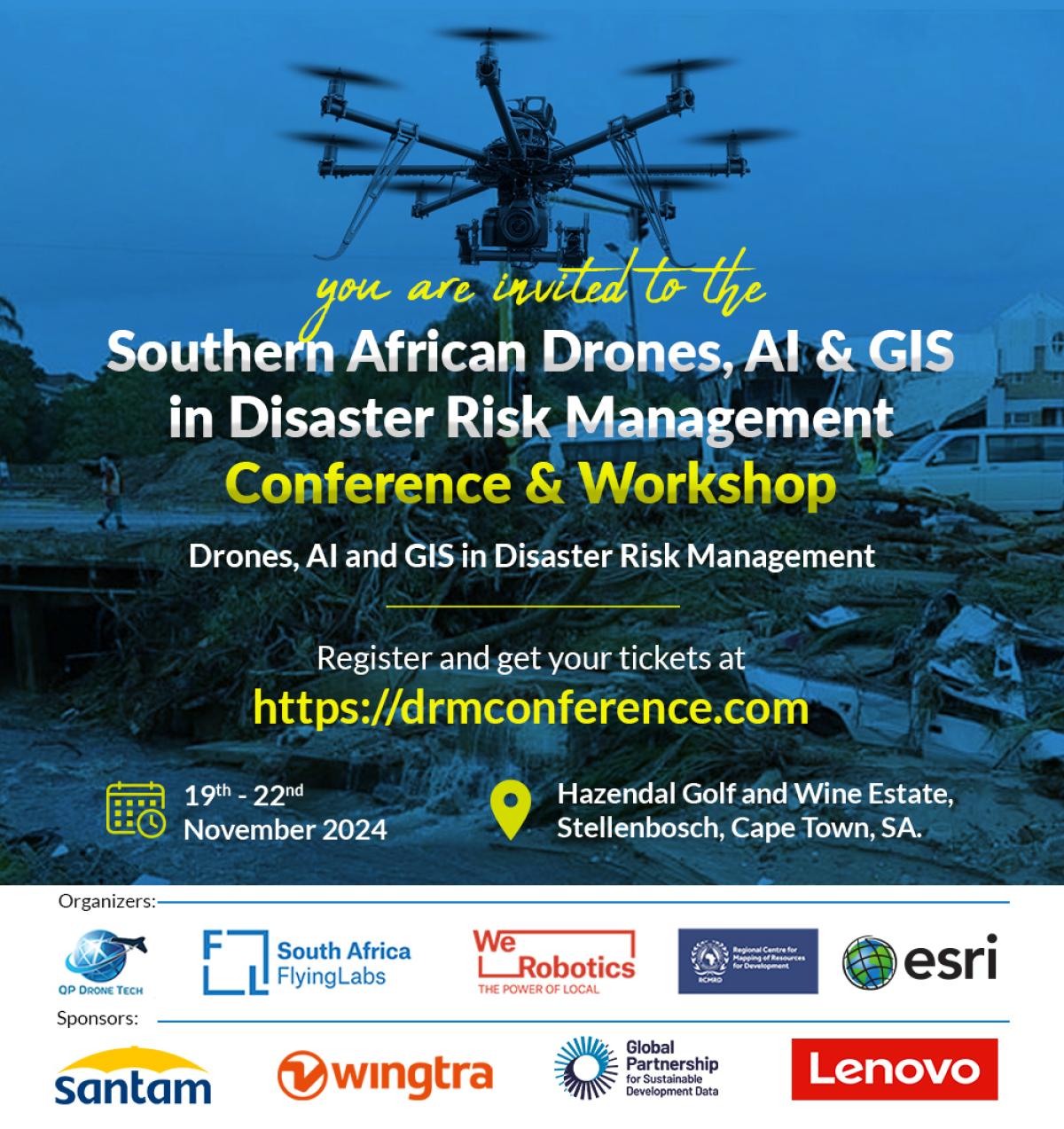
Announcing the Southern African Drones, AI and GIS Conference and Workshop 2024
August 21st, 2024

As the frequency and intensity of natural and human-induced disasters continue to rise, more lives and livelihoods are threatened than ever before. To address these challenges effectively and sustainably, the humanitarian sector is undergoing a significant paradigm shift toward a more localized approach to disaster response and delivery of aid.
The localization of humanitarian efforts shifts power to local actors – governments, civil society organizations, and communities – to take ownership and lead humanitarian actions. Local actors possess invaluable contextual knowledge, cultural understanding, and sustainable networks, positioning them as the most effective responders to disasters within their regions.
WeRobotics is therefore honored to be a co-organizer of the upcoming Drones, AI, and GIS for Disaster Risk Management in Southern Africa Conference and Workshop Series. Along with South Africa Flying Labs and QP Drone Tech, Esri, and the Regional Centre for Mapping of Resources for Development (RCMRD), we are excited to bring together industry leaders, innovators, and key stakeholders from across the Southern African Development Community (SADC) region to bridge the gap between the potential of drones, GIS, and AI and their practical application by local, national, and regional actors to reduce disaster risk and support disaster management. In Stellenbosch from 19th to 22nd November 2024, local, national, and regional actors will convene for two days of knowledge exchange and relationship-building with the aim of developing and implementing effective disaster risk management strategies followed by two days of hands-on workshops.
The conference and workshop series is an amalgamation of two separate yearly events previously organized by South Africa Flying Labs/QP Drone Tech and Esri/RCMRD respectively, building on the momentum and audience garnered by these events over the course of 2022 and 2023. By combining our strengths, all the organizers aim to maximize the synergy between drone data collection and spatial data analysis, providing an annual opportunity for actors across the SADC region to gather and discuss how best to leverage geospatial technology for disaster risk management.
Geospatial technologies and methods, including drones, AI, and GIS, are powerful tools that strengthen national DRM frameworks. Not only do they facilitate the identification of hazard-prone areas, assessment of critical infrastructure, and planning of emergency response activities; they also support the prioritization of recovery efforts, contributing to “building back better”, reducing risk, and continuously improving resilience. Thus, they position DRM actors to engage directly with global disaster risk management initiatives such as the Sendai Framework and Early Warning for All.
We invite key stakeholders in DRM across Southern Africa who are interested in how drones, AI, and GIS can support their work to join us at the conference. This includes geospatial professionals responsible for designing and implementing DRM systems, DRM managers who use the resulting information for decision-making, officials from the National Disaster Management Agency, and commercial organizations with strong ESG policies, such as insurance and reinsurance companies. To book your spot for the event, please visit the conference website. If you would like to get involved as a sponsor or supporter, please contact us at humans@werobotics.org.
Recent Articles

