Climate Action
Drones, data and AI to support climate monitoring, research, and interventions.
- Our Work
- Technology Solutions
- Climate Action
Drones and the data they provide play a valuable role in climate action by offering innovative solutions for climate monitoring, research, and interventions. Applications include:
Monitoring Deforestation and Land Use Change: Drones provide a cost-effective means of monitoring deforestation, illegal logging, and changes in land use patterns. This information helps in assessing changes over time, and impacts on biodiversity and carbon sequestration.
Environmental Monitoring: Drones equipped with sensors can monitor environmental parameters such as air quality, water quality, and soil health. This data is crucial for understanding the impact of climate change on ecosystems.
Climate Research and Modeling: Various types of drone data contributes to climate models and improves our understanding of climate change processes. For example for glacial monitoring, providing data on glacial retreat and changes in ice mass.
Wildlife Conservation: Drones assist in monitoring wildlife populations and habitats. This is particularly important for tracking the impact of climate change on endangered species and implementing conservation measures.
Climate Resilience: Drones can provide data for early warning systems and monitoring natural disasters such as hurricanes, floods, and wildfires. As collection of drone data is inherently local, including local communities into the data acquisition and analysis process supports community resilience.
Renewable Energy Site Assessment & Maintenance: Drones assist in assessing potential sites for renewable energy projects, such as wind and solar farms. They can survey large areas quickly and provide data on factors like topography and sunlight exposure. Drones can then also be used for construction as well as maintenance monitoring.
Carbon Sequestration Monitoring: Drones contribute to monitoring efforts in forests and other ecosystems such as mangroves that act as carbon sinks. This helps in assessing carbon sequestration rates and implementing strategies to enhance carbon capture.
Infrastructure Monitoring in Vulnerable Areas: Drones can be used to assess the vulnerability of infrastructure to climate-related events, such as rising sea levels or extreme weather events, to help develop resilient infrastructure.
Water Resource Management: Drones assist in monitoring water resources, including rivers, lakes, and reservoirs. This is crucial for assessing water availability, especially in regions vulnerable to droughts and changing precipitation patterns.
Public Awareness and Education: Drones can capture compelling visuals and data to raise public awareness about climate change. They can be used in educational programs to illustrate the impact of climate change on different ecosystems.
As climate challenges keep on rising, applications of drones and data they provide will keep on evolving.
Discover a selection of locally-led applications:
You will need to give cookie consent in the Experience option to see this video. Click the cookie link at the bottom right of the page to change your preferences.
- Safeguarding Ecosystems in Costa Rica: link
- Fight for the Forest: Preserving the Biodiversity in Brazil: link
- Mapping climate risks and vulnerability in Cameroon: link
- Drones are supporting land rejuvenation in Tanzania: link
- Preventing forest fires with drone technology in Bolivia: link
- Drone Data for Marine Biodiversity Conservation in Tanzania: use case link
- Drones to Study Himalayan Glaciers in Nepal: use case link
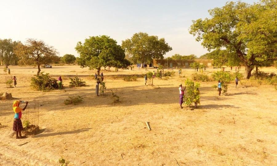
- Planting Seeds for a Greener Future: Environmental Education in Burkina Faso: link
- Monitoring Mangrove Forests in the Indus Delta in Pakistan: use case link
- Sea level monitoring in the Zapatilla islands in Panama: use case link
- Relocation of the Gardi Subdug community due to sea level rise in Panama: use case link
- Drone mapping of saline lands in the Commune of Loul Sessène in Senegal : use case link

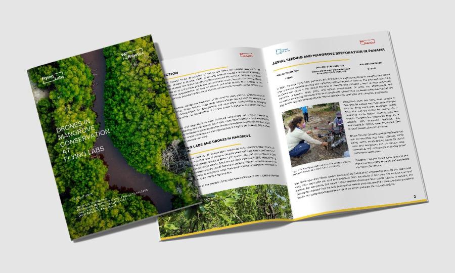
Mangrove forests, delicate ecosystems vital for coastal protection and biodiversity, face increasing deforestation and climate change threats. Discover the report on Drones in Mangrove Conservation at Flying Labs that showcases the impactful work carried out by Panama, Tanzania, and Pacific Flying Labs since 2018 to address mangrove conservation.
