Development
Drones and data for urban and peri-urban challenges
- Our Work
- Technology Solutions
- Development
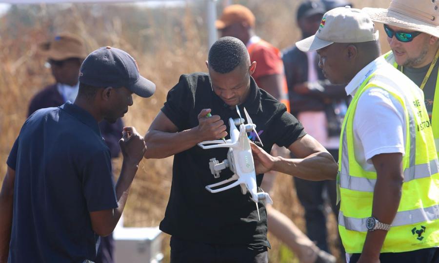
Drones play a crucial role in addressing urban and peri-urban development challenges in Africa, Asia/Pacific and Latin America, offering innovative solutions to various issues. Here are some key applications:
Infrastructure Planning and Monitoring: Drones allow to survey and map urban areas, providing high-resolution aerial imagery for infrastructure planning, development and monitoring during construction of roads, bridges and buildings.
Urban Planning and Land Use Management: Drone data provides accurate, timely and high-resolution data to assist in monitoring land use changes, evaluating the effectiveness of zoning regulations, and supporting informed decision-making for sustainable urban and peri-urban planning and development.
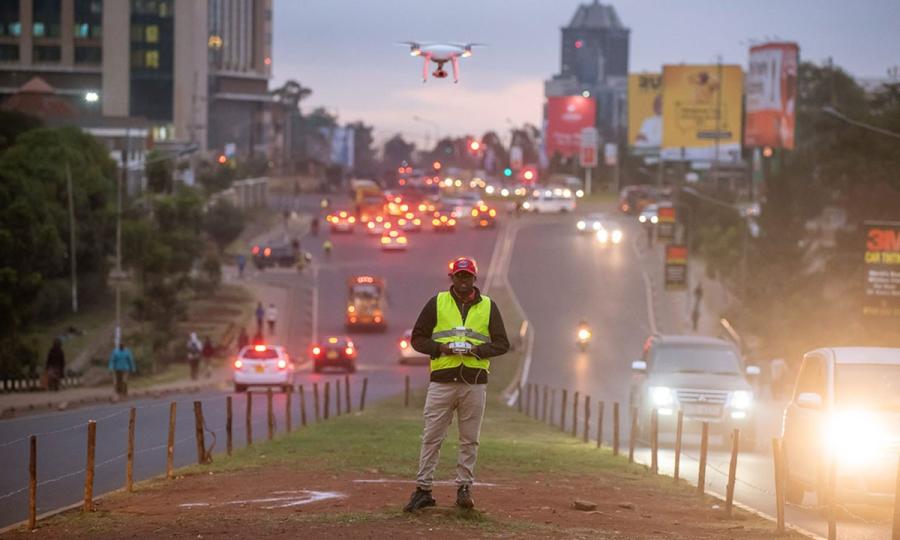
Traffic Management: Drones are used to monitor traffic patterns and assess transportation infrastructure. This data helps urban planners and authorities optimize traffic flow, identify congestion hotspots, and plan for effective transportation solutions.
Environmental Monitoring and Pollution Control:
Drones contribute to monitoring air and water quality in urban and peri-urban areas. They can identify sources of pollution, assess the impact on public health, and support initiatives with evidence and data to control and mitigate environmental hazards.
Waste Management:
Drones are efficient and safe tools to monitor waste disposal sites, assess the effectiveness of waste management practices, and identify illegal dumping areas, supporting decision makers with information for efficient and sustainable waste management strategies.
Utilities and Infrastructure Maintenance:
Drones contribute to the maintenance of utility infrastructure such as power lines and pipelines. They can inspect infrastructure for damage, detect potential issues, and assist in planning maintenance activities, ensuring the reliability of essential services.
Community Mapping and Participation:
Drones facilitate community engagement by providing residents with the tools to create their own maps and gather data about their surroundings. This participatory approach can empower communities to actively contribute to the planning and development of their urban and peri-urban areas.

Discover how drones facilitate community engagement and co-learning in the Global South. Read the blog post.
Discover a selection of locally-led applications:
- An ambitious drone traffic monitoring experiment with Kenya Flying Labs: link
- Mapping of informal settlements in Namibia: link
- Monitoring of illegal dumping of sewage sludge by drone: link
- Aerial survey of a 138 km long highway road in Nepal: link
- Land-fill monitoring and supervision in Panama City: link
- Using drones to safeguard a heritage site in Togo: link
- Critical waste management project in Zambia: link
- Solving Farmer/Herder conflicts in Benin: link
- High-resolution aerial mapping of Nepal’s urban centers aids urban planning: link
- Updating land housing register in Benin: link
- Estimating dumping site capacity in Nepal: link
This is a limited selection of the many trainings and projects led by local experts of the Flying Labs Network and supported by WeRobotics. Contact us for more examples and additional information.
