Humanitarian UAV Coordination in the DR
June 14th, 2017
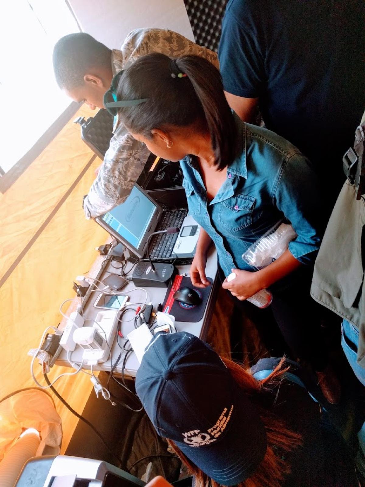
 Inside the mobile operations tent of the Dominican Republic's COE (Emergency Operations Center) a knot of first responders and civilian analysts crowd before faintly glowing laptop screens, gesturing animatedly from time to time. Conversation bursts to life as the spatial features they’re searching for come zooming into focus from freshly collected drone imagery. The packed tent is a dull yellow from the filtered light. Air conditioners whine with the labor of keeping computers chilled for processing and GIS workflows. With the aid of Esri’s Drone2Map, a few analysts build mosaic maps from the photographs; others simply comb manually through each individual image, noting with loud proclamations the location of discovered markers.
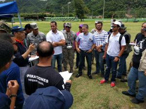
Outside the sun glares high overhead and humidity makes the air slow to breathe. On the town’s central baseball field sweat pours from the faces of pilots, intently concentrating, as they steer their small robotic crafts gently about 100 meters above the corrugated steel rooftops of Cambita Garabitos, a small town ~1.5 hours outside the Dominican capital city of Santo Domingo. Not too long ago this was the scene of intense inland flooding. Children and adults have paused their games to ring the area, curiously looking on as the robots take flight.
We’re here in the Dominican Republic at the request of the United Nations World Food Programme (WFP) to help lead the first in a series of workshops and simulations hosted in various countries throughout the world, from Peru to Myanmar, over the coming months. These events, together with global consultations with other key international actors, and sponsored by the government of Belgium, aim to build for the first time mutually agreed-upon and broadly supported coordination mechanisms for the safe, effective and ethical introduction of drone technology in humanitarian emergencies by local, national and international actors.
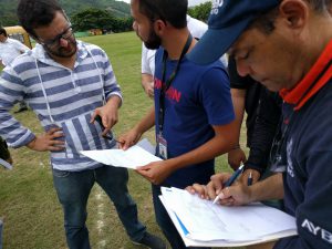 Throughout two long days of group discussions and presentations, down in the bowels of the Santo Domingo Sheraton Hotel, key actors in Dominican disaster response, including Civil Defense, Aviation, 911 emergency services, Ministry of Agriculture, Red Cross, UN partners and others from Haiti and Colombia, were briefed on humanitarian drone best practices, guided through debates over how and why to use drones during different stages of their existing response operations, and encouraged to express clear demand for specific types of information products which can be produced using off-the-shelf drone technology. Those two days of dialogue later found expression in the languid skies above Cambita Garabitos as the Dominican emergency responders tested out simulation ideas and practices for humanitarian coordination using aerial robots, which one day soon will accompany them during actual disaster response events.
Simulations are for testing out ideas and processes which may not yet exist, or exist only in theory, discovering as we do things that work, things that don’t and places where gaps may exist in skills, technology, information and workflows. These gaps may need to be filled prior to live deployments. Along those lines, the key findings of the workshop and simulation activities include the following:
 While adaptation and flexibility are important, preparation is paramount. Don’t expect to figure things out as they happen in the field: develop standards, practices, communications and rosters well before they’re needed.
- Efficient tasking of drone flights is among the most important elements of effective deployment. This ranges from airspace deconfliction to the specific work products which different response actors are most likely to use.
- Speed in humanitarian information and operations is absolutely key. Processed image mosaics and models can be invaluable for many aspects of emergency response and recovery, but if they aren’t available when decisions need to be made they lose their value almost instantly. At some point machine learning, AI and automated computer vision may play important roles in speeding the time from data to decisions. Nevertheless, the social structures enabling drone deployment at speed will precede and contextualize those technical developments.
- Maximum resolution in imagery data is usually not required for response operations, and may prove a hindrance to speedy data collection. Focusing on the minimal level of resolution which moves decision-making forward, while holding higher resolution products in reserve perhaps for recovery and evaluation, can be advantageous.
- Building upon response workflows that already exist is generally a much better idea than generating workflows from scratch. Drone technology may be relatively new, but it needs to work within existing practices. Conversely of course, workflows which already exist may need to be improved in order to lend towards greater efficiency and transparency between government, non-governmental and inter-governmental actors.
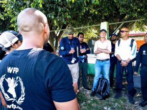
Under the shade of a dusty tree the 40 or so participants gathered at the end of the day’s simulation to rehydrate, to reflect upon what they had just accomplished, and to speculate on the future of robot-assisted disaster response in the Dominican Republic. The overriding emotion was enthusiasm and excitement about emerging possibilities, tempered by new insights into the complexities of rapid human-machine and inter-agency coordination in the field.
Over the coming months the folks gathered here, with support from WeRobotics and WFP, will begin to assemble the country’s first national plan of action to integrate aerial robots routinely into disaster response operations, and make sure when that integration happens that it’s founded upon solid principles of institutional coordination, open and secure communications, humanitarian ethics and efficient information management. It’s a future that in many ways is already here, glimpsed from the humid ballfields of Cambita Garabitos.
Recent Articles


