Geospatial Data for Sustainable Development Goals
February 8th, 2018

Authored by Leka Tingitana, Director of Tanzania Flying Labs
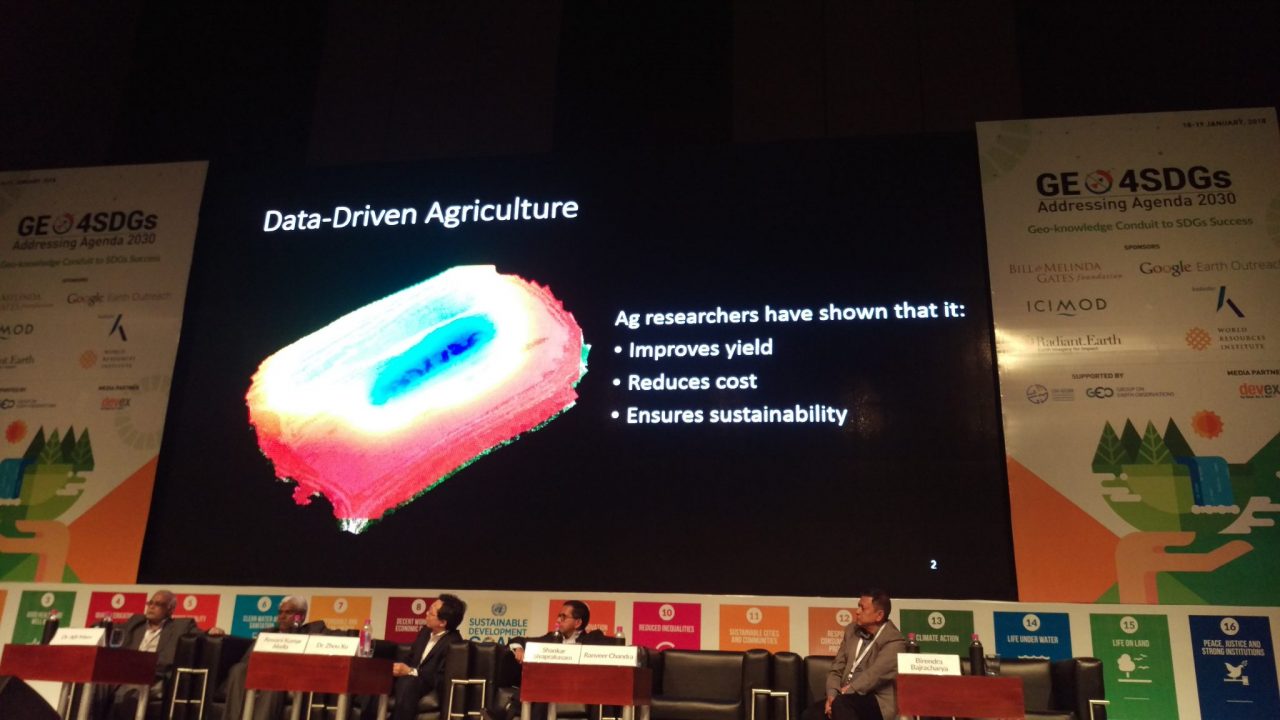
The most fascinating statement heard at the recent Geospatial World Forum (#GWF2018) in India: "Geospatial data will enable businesses and policy makers to start predicting instead of reacting to events." The who’s who of the geospatial industry attended this event which was appropriately hosted in the city of Hyderabad where you will find the world’s top tech corporations across the street from each other. It was especially gratifying to interact with many of these companies and investors who are dedicated to leveraging their businesses, technology and data for social good.

 Tanzania Flying Labs (TFL) was very kindly invited by Radiant.Earth to attend the GWF and to learn about the potential of geospatial data to advance the agenda of the United Nations Sustainable Development Goals (SDGs). Informing policy using remotely sensed data is one of the main objectives of TFL and the other Flying Labs in the WeRobotics network. Geospatial data can contribute towards achieving many of the 169 targets from the 17 SDGs. For instance, SDG #1.4 is particularly striking in the context of land tenure. More than half of the world’s population lives in informal settlements meaning they are unidentified and unrecognized. Improving their livelihoods entails access to land rights which can be accelerated in important ways through high resolution aerial data. Likewise, people without land tenure tend to have poor sanitation since there's no real incentive for them to privately develop such infrastructure. Improved sanitation is SDG #6.
Our Flying Labs in Tanzania is partnering with local communities and governments to localize appropriate robotics solutions such as aerial and marine robots (drones) to enable the collection and analysis of high quality data across multiple sectors which contribute to achieving the SDGs. One of the key challenges is to process and analyze huge data sets and visualize them in a meaningful way that can give insights for better decision making across all sectors.
One of the main themes at the GWF was the emergent use of machine learning and artificial intelligence (AI) in geospatial analysis to rapidly deliver results which would have otherwise taken humans more time to produce. Tanzania Flying Labs and others in the WeRobotics network are taking a close look at how these techniques integrate into our work. We have already proposed the integration of AI into scenarios such as disaster response during this simulation exercise in Malawi last year.
New spatial technologies from drones to AI promise to have a tremendous impact in the Global South as we enter the fourth industrial revolution. Increasingly our physical and digital worlds are fused together, opening up new opportunities for efficiency, productivity and growth in areas of work from agriculture and health to disaster management and property rights. Our time spent engaging with colleagues in Hyderabad has reinforced for us again that this work is central to meeting the SDGs, and that we’re excited to be a part of the effort.
Location(s):
Recent Articles

